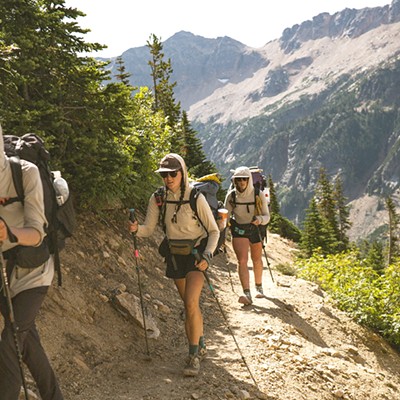
With the chorus from the Talking Heads' "Take Me to the River" swirling through my brain, I push off from the riverbank and enter the current of the Deschutes River. Upstream of me is the Tetherow Logjam, an impressive pile-up of logs that requires a mandatory portage. But from the boat launch, where I've just entered the river downstream of the obstacle, I'm now paddling a flatwater stretch of the river in my inflatable kayak, thanks to the Bend Paddle Trail Alliance's Deschutes Paddle Trail guide.

This stretch, from the put-in to La Pine State Park, is an easy flatwater float through some scenic ponderosa forests. Above me, an osprey circles, scanning for fish and ready to plunge after prey.
"Drop me in the water."
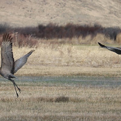
As I float past submerged logs and slip through the curves in the river, I catch sight of other birds: Western wood pewees and tree swallows hawking insects in mid-flight. Narrow paths from the river up the banks indicate the passage of mule deer and perhaps elk, which easily swim across the river during their seasonal migrations.

The paddle trail is the work of the nonprofit organization Bend Paddle Trail Alliance which was an outgrowth of a club of recreational whitewater paddlers called Paddlers of Central Oregon, around 2006.
"We realized the need for common language for safety messaging and understanding access to the river," said Jayson Bowerman, vice-chair of BPTA. At that time, there was little signage along the Deschutes River related to safety or hazards. Unfortunately, occasionally people would put on the river at dangerous points such as Dillon Falls, not realizing the severity of the river ahead, resulting in tragedies.
Part of our mantra is that you can’t have conservation without recreation.—Justin Rae
tweet this
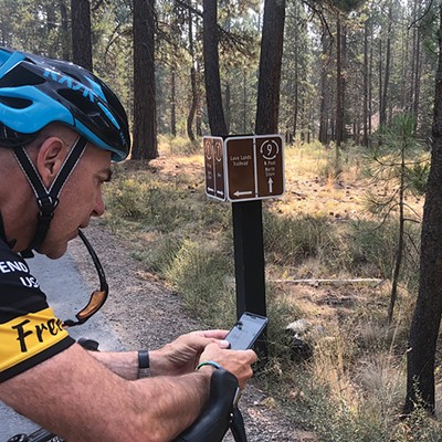
Part of BPTA's mission is to "promote and establish a navigable paddle trail within Deschutes County," which began with the mile-by-mile mapping project of the Upper Deschutes River. Working with their partners, the U.S Fish and Wildlife Service, the U.S. Forest Service, the Bureau of Land Management and the Deschutes County Sheriff's Office, the effort highlighted access points, hazards, rapids and whitewater classifications for stretches of river that require more technical skills. "We created a flipbook for the river and one for the high lakes and now have digitized those maps so their available to download for free from Avenza Maps," added Bowerman.
The paddle trail covers about 95 miles of the Upper Deschutes to Cline Falls State Park and includes sections of flatwater or stretches of Class V whitewater that only highly experienced boaters should attempt. Nine of the high lakes in the Cascades and Newberry Caldera are also included in the trail. In addition to the maps, BPTA partnered with the Forest Service and other agencies to install 30 kiosks at put-ins at the lakes and access points on the river.
"The design and content for the kiosks came from BPTA and then the installation came mainly from the Forest Service," said Justin Rae, BPTA board president. "The information covers access, hazards, and has an educational component that is unique to that stretch of the river or lake, whether it's something historical or about the ecology of the area."

BPTA also partnered with Bend Park and Recreation District and others to create the Whitewater Park downstream of the Colorado Street Bridge. Removal of the dam, which was created during the logging industry's heyday, was a key aspect of the project. Today, the barrier-free passage provides recreational opportunities not only for inner tube floaters or waveboarders and kayakers to enjoy the river, but also provides passage for fish, especially redband trout, to access spawning beds higher up on the river. And in the wake of the recent tragic drowning at the park, BPTA is involved with providing funding for grief counseling.
One of the issues that BPTA is engaging with BPRD and the Forest Service on is erosion at access points, especially sections of the river close to town. "That's high on our list of having conversations about how and where people access the river and design useful and functional access points to limit erosion," added Rae. "Part of our mantra is that you can't have conservation without recreation; people need to experience something in order to help protect it."
Figuring out where those limits lie and how to engage the numerous and diverse stakeholders involved with the management and allocation of the river is no small task, but one where the conversations continue.
"Dip me in the water."
Bend Paddle Trail Alliance
bendpaddletrailalliance.org