In the spring, at the end of the day, you should smell like dirt," wrote Margaret Atwood in an early '80s short story. Fair enough. But as a Canadian and one of our greatest living authors, you'd think she'd know better. HOW CAN WE SMELL LIKE DIRT WHEN THERE'S STILL SNOW ON THE GROUND?! Or when the ground is still frozen?

Still, and even though the skiing and snowboarding remains top-notch, and likely will through...June? July?, many Bend frothers are anxiously eyeing the cycling season.
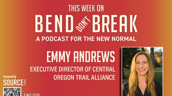
Perhaps none of us is as excited as Emmy Andrews, the executive director of Central Oregon Trail Alliance, the nonprofit which maintains the region's 600-plus miles of singletrack. COTA has busily been planning new trails, connectors, updates and overhauls and is already making moves. Despite that nearly frozen earth.
Here's what Central Oregon riders have to look forward to:
Skills Parks in Bend and Beyond
Just this week COTA, working in conjunction with the Forest Service, announced the start of what should be a two-week operation to overhaul the skills area at Phil's Trailhead. During phase one, the plan is to scrape the existing pump track and rollers and use that dirt to reshape the main jump lines. The pump track will be relocated so that it's adjacent to the new features. According to COTA's recent press release, phase two of the plan will include the addition of "rollers, rock features, drops and more." COTA is seeking funding for this second phase, which it hopes to implement in the spring of 2024.
Another such zone slated for updates is the skills park at the Wanoga trailhead. Not only will the existing pump track and rollers receive a makeover — making it even better for a larger range of riders — but COTA will also work to add some sessionable downhill runs on the sledding hill adjacent to the parking lot.
Andrews reports the plan is to create an area where riders can enjoy short, engaging downhills on everything from blue-square (intermediate) terrain up to double blacks (experts only). The runs will be short enough that riders can pedal back to the top in minutes. Expect work on the skills area to begin this season. But the sessionable downhills are awaiting final approval.
Lemon Gulch
The situation at Lemon Gulch—a steep, forested area northeast of Prineville, near Steins Pillar—is more complicated. COTA and Ochoco Trails have proposed a 52-mile trail project that should result in a mix of cross-country and directional, downhill-only lines. A cadre of gravity-oriented riders feel Central Oregon, with its gentle slopes and many XC-style trails, is in desperate need of downhill options, ones which would be easy to shuttle with the use of a vehicle.
It's that last bit — the downhill trails and shuttling—that has drawn the most ire from critics. The opposition — which includes residents of Bend and Prineville and even some cross-country mountain bikers — fear the ecological impact of machine-built, downhill-only trails, to say nothing of the increased traffic from shuttling. Opponents including Prineville's Dave Nielsen, a retired Ohio State University entomology professor, think Lemon Creek is too fragile for downhill-only trails. Furthermore, many of those critical of the proposal take issue with the process. They feel as if they were left out of the conversation, which started in 2019, and weren't involved until the U.S. Forest Service and COTA were already well on their way toward making the trail plan a reality.
Forest Service representatives, however, refute this claim. They say they have intentionally moved slowly, conducting listening sessions and studies, in an effort to do what's best for the land and its many users. In November, the Forest Service published a 144-page environmental assessment that weighed the need for the proposed trails against the impact they would have on the land and its residents and concluded that a compromise 27.5-mile option, which included a mix of trail types, would be best.
Ochoco National Forest Public Affairs Officer Kassidy Kern said that her organization has received approximately 800 comments about the proposal—two-thirds of which were in favor of some version of it. Kern expects the Forest Service will issue a final decision in the next two to three weeks.