

The Cram Fire burning north of Madras blew up to 28,635 acres with 0% containment as of Tuesday, July 15. Changing wind directions and rugged, steep terrain are challenging firefighters. The fire advanced southeast, jumping Trout Creek and heading up Ranger Butte Monday night reaching the community of Ashwood. Highway 97 closed Tuesday north of Madras from milepost 70 to 75 due to the fire. The Oregon Department of Transportation says highways near wildfires may open and close with little notice. Check Trip Check for the latest.
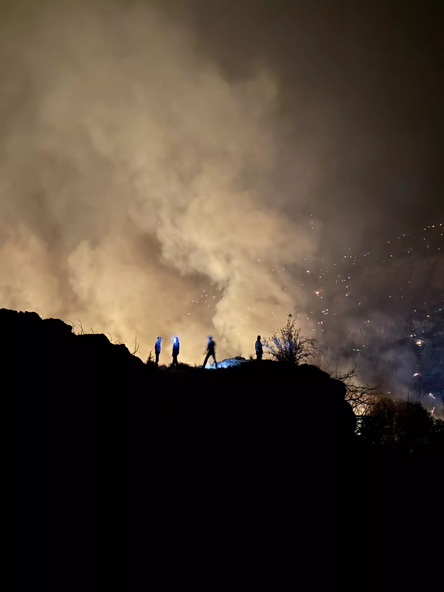
Firefighters shifted resources to protect homes and community buildings. The Governor’s office invoked the Conflagration Act Monday to send more resources to the area. The Prineville Interagency Hotshots, BLM, Oregon Department of Forestry engines and Ashwood-Antelope Rangeland Fire Protection Association (RFPA) members are working alongside Oregon State Fire Marshal task forces. Eight structural task forces from Linn, Lane, Marion, Multnomah, Washington, and Yamhill counties are actively involved in protecting structures which involves lighting defensive backfires.
Air resources are also available for fire managers, both to cool hot spots but also to use tactical retardant drops by aerial support to slow the spread of the fire along potential control lines. Conditions remain dry and receptive to ignition.
Evacuation orders are in place in Jefferson and Wasco counties.

The Cram fire boundaries are east of Highway 97 and South of the juncture with Highway 293, west of Lower Tub Spring Road to the Wasco/Jefferson County border. The latest information on all wildfires in Central Oregon can be found at Central Oregon Fire Info.

This article appears in Source Weekly July 10, 2025.
MAKE LOCAL JOURNALISM HAPPEN

![]()


Here we go again. Smoke until it snows.