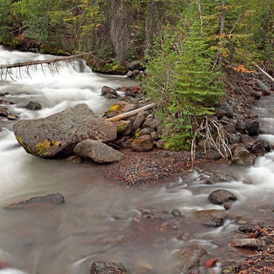
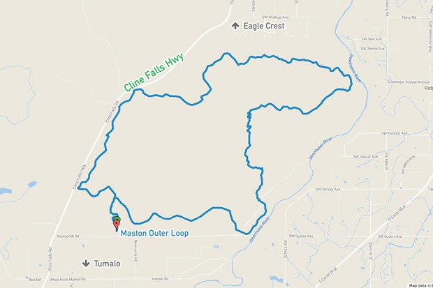
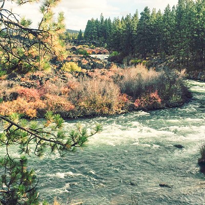
Created originally for cycling options in the winter months, the routes at Maston are an example of how varied user groups can work together to form diverse and harmonious trail systems. Hikers, bikers and equestrians enjoy the various loops, connectors and Deschutes River views that make the Maston Trailhead so popular. Located 5 miles from Tumalo, the 20 miles of trail at Maston make for great riding throughout the year—but especially when the winter snows begin to collect in the higher points of the Central Oregon trail system.
Many possible loops and distances are available, and all are approachable for even the newest off-road cycling enthusiast. The section loop running adjacent to the Deschutes does have a few intermediate rock sections, but they're easy to portage and worth exploring. Horses have separate trails, but walkers and runners do use the bike trails. On the eastern side of Maston lies a Wildlife Conservation Area, closed to bikes and horses, but available to hikers from September to January.
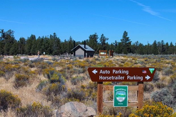
Directions: Drive west on Hwy. 20 to Tumalo and then turn right on Cline Falls Hwy., going for 5 miles. Turn right (Newcomb Road) at the Maston sign. One mile of gravel leads you to the trailhead on the left. Enter the trail system and choose either a clockwise or counterclockwise direction. The trails are marked by numbered markers, but can be confusing, so keep a phone app handy, like Bend Trails or MTB Project, or a map.

![Environmental Watchdog: Central Oregon LandWatch Executive Director Ben Gordon 🎧 [with podcast]](https://media2.bendsource.com/bend/imager/environmental-watchdog-central-oregon-landwatch-executive-director-ben-gordon-with-podcast/u/r-bigsquare/12803856/bend-don_t-break-promo-slider.jpg?cb=1680199462)